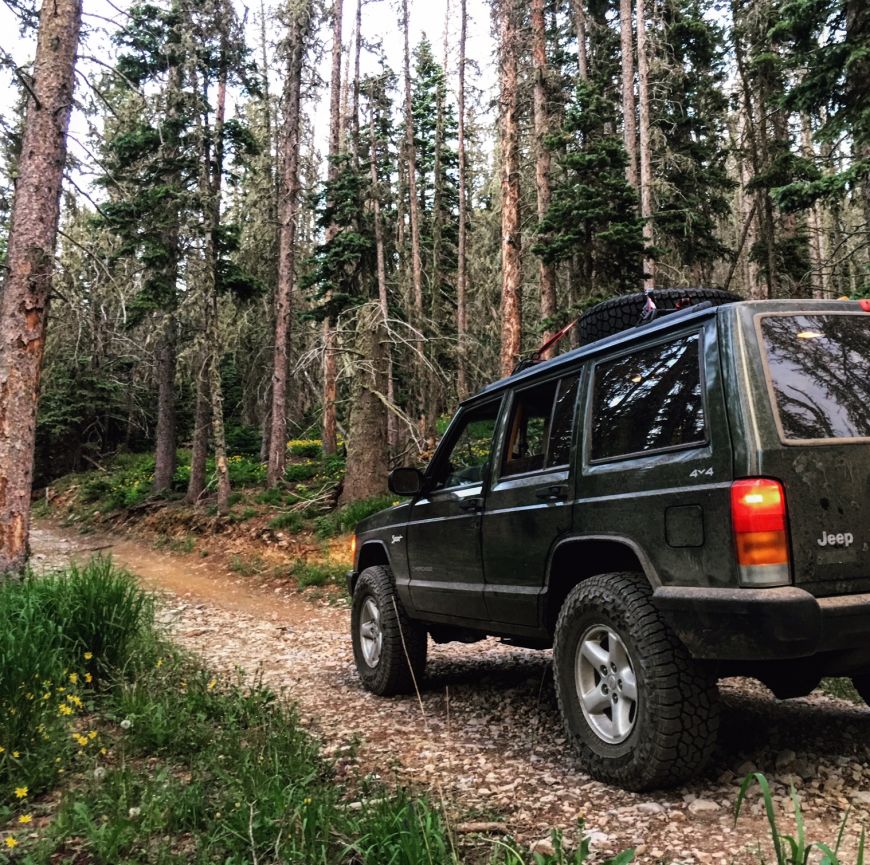
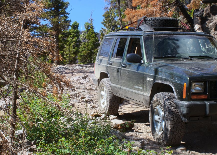
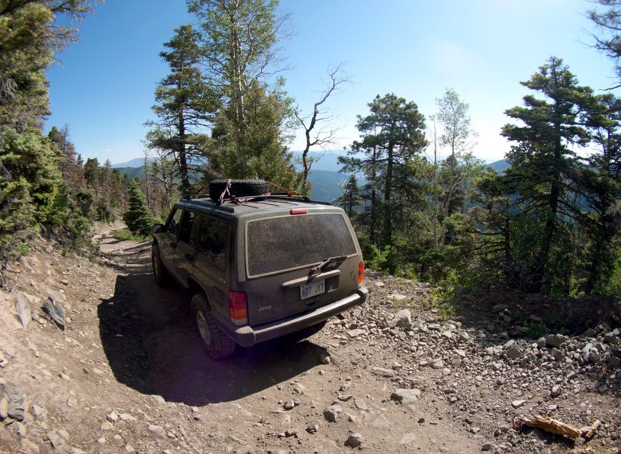
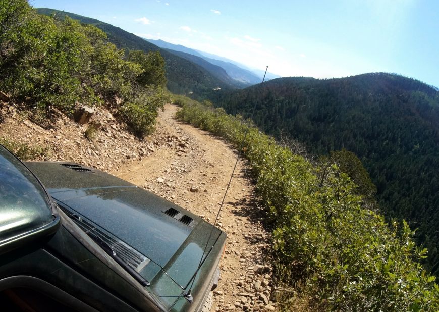
After Medano Pass further south in the Sangre De Cristo Range, we drove up north (for about an hour) to Hayden Pass to cross it from West to East. Which, from what I've read, is the most challenging direction.
Here's the thing with Hayden Pass: last year there was a forest Fire - The Hayden Pass Fire - and the 4x4 road does go through the burn scar.
Before making the trek, I called the forest ranger (Salida district of the San Isabel NF) and asked him the condition of the road. He wasn't able to provide a whole lot of info as he hadn't driven it himself but he said, "From what I'm told, it's a little rutted out from all the moisture." I told him I was in a slightly modified older Jeep Cherokee and he said "Go for it" but I would have liked a little more enthusiasm in the way he said it, hahaha.
The road began right in the middle of the town of Villa Grove and I actually passed in twice on accident because there is no brown sign that is typical. Well, there is, but it was located half a mile up the road. We passed a really beautiful log house which must belong to a rancher as there where a few cows on the road but thankfully they didn't attempt to play "chicken" and they got out of our way rather quickly.
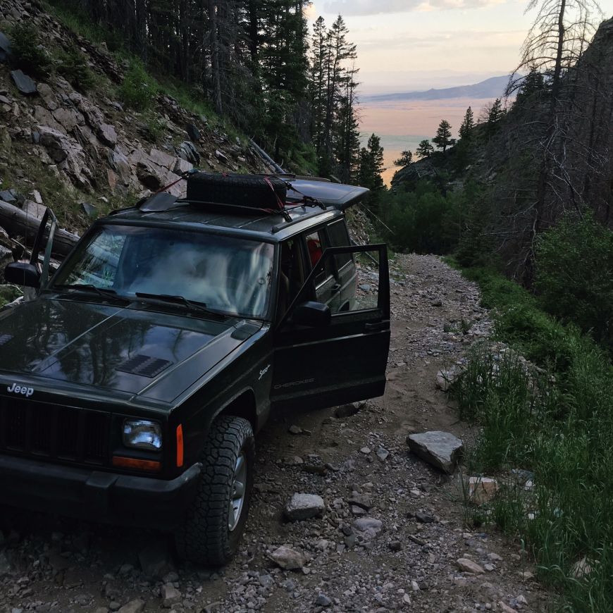
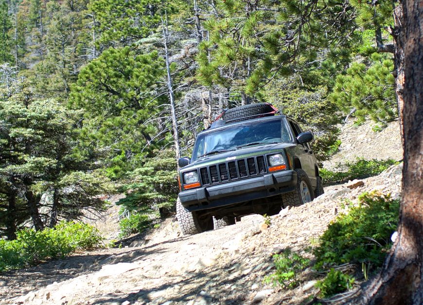
The road curved to the right and then a sharp left and it became immediately extremely steep and rocky! It wasn't long before we had an incredible view of the San Louis Valley behind us.
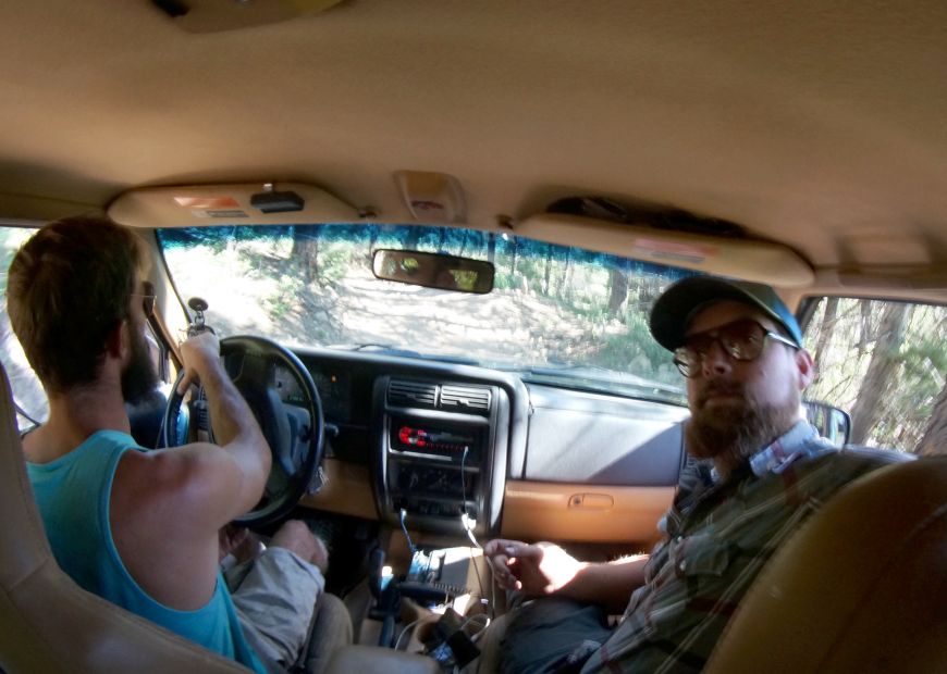
It wasn't a difficult climb - non of the rocks were so large that I needed to navigate around them - it was just very steep. I put the transfer case in 4 Low and the transmission in its lowest gear, and just went up it very slowly. About half way up I tossed the keys to my co-driver Johnny so I could relax and take in the views. The grade and terrain didn't change much - steep and rocky all the way to the top where it slowly leveled out.
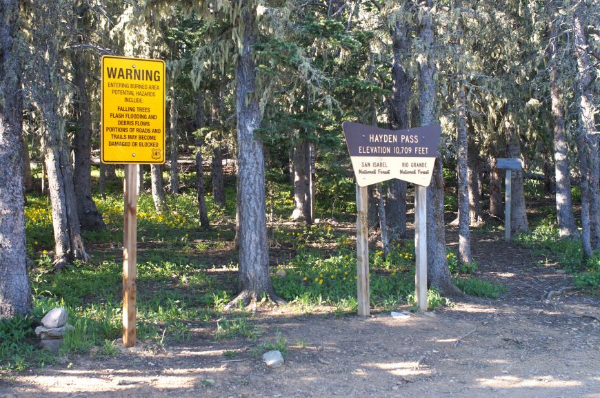
Once we got to the top of the pass it was very obvious. There was a big parking lot, a trailhead, and some signs.
One of the signs was a big yellow warning sign that read, "WARNING: Entering burned area; Potential hazards include: falling trees, flash flooding and debris flows. Portions of the roads and trails may become damaged or blocked."
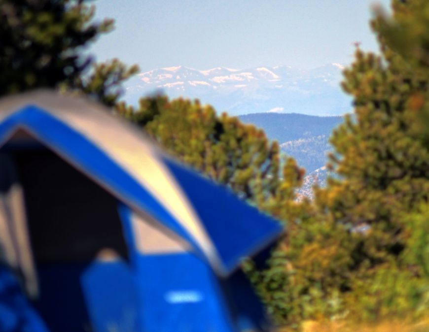
Directly to the North of the parking lot was a terrific camp sight that was an amazing vantage point. You could see the San Luis Valley and the Rio Grande mountains in the distance to the West, and to the east was the Arkansas River Valley and Pikes Peak beyond that! And while it wasn't above the tree line, the trees weren't so thick that you couldn't peak through them to see the views.
The elevation meant it was a cold night, however.
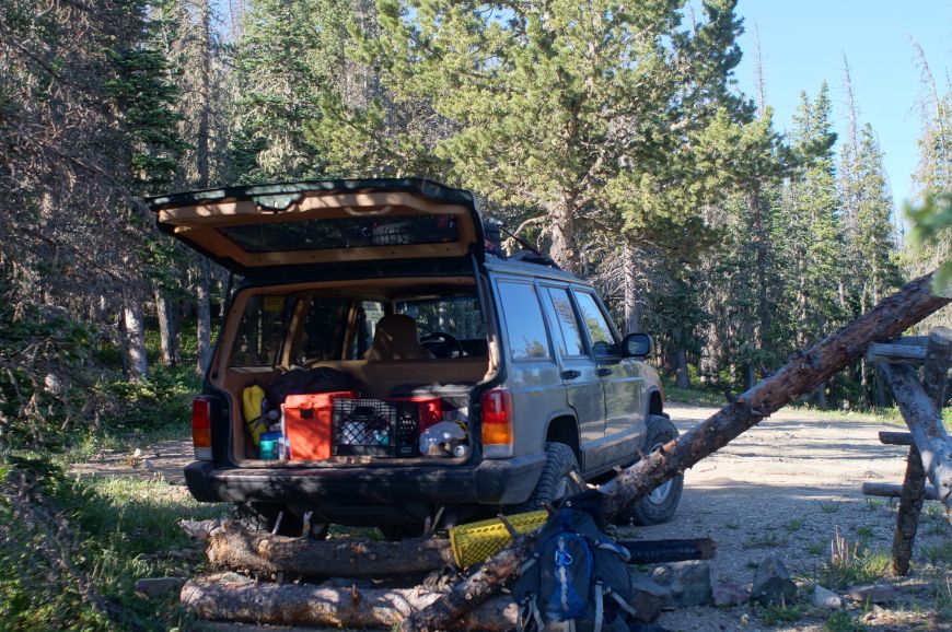
The next morning we started bright and early (although not early enough to catch the sunrise unfortunately) and headed down the east slope of the mountain. We found many more camp sites on the East side of the pass. Actually, we found zero camp sights on the West side - too steep!
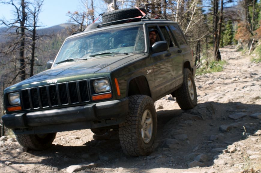
The terrain was a little more varied but it wasn't as steep as the other side. There was many more obstacles and there was a few times that Johnny got out to spot me with my tire placement.
After a little while we found the Hayden Fire burn scare.
I was really worried that the road would be covered in a thick layer of ash, making it impassible. My only other experience with traversing through a burned out area was during a backpacking hike through Yosemite. The trail was completely destroyed and we lost it because the earth was so scorched and covered in ash.
Thankfully, the Hayden Pass Fire must not have burned as hot and, other than the black trees, I might not have noticed that it was a forest fire! To my amazement, the forest floor was bright green with new vegetation and there was zero trail damage. Yet the forest fire was less than a year ago.
It's unfortunate that the above image is blurry because it's the best "flex" picture I have of the Jeep.
When planning this excursion through Colorado, I never would have thought that I would have driven over anything this challenging. In fact, I promised myself that I wouldn't do any "rock crawling" as I don't have skid plates and the aluminum transfer case is a true soft belly. Hang that thing up on a rock and we're moving nowhere.
We didn't come across any "rutted out" areas that the ranger warned us about.
Actually, the worst trail damage wasn't due to the Hayden Pass Fire or from moisture, it was falling rocks! (Though I don't know how the rocks could have "fallen" onto the trail like that, it looks more like somebody put them there!) And there was one tree we had to move out of the way.
So that was it. I'm happy to report that Hayden Pass is open and the fire did not damage the trail!
This was the last 4x4 trail we drove down during out 3 day excursion through Colorado. And by far the most challenging.
I had a blast and learned a ton!
| Attachment | Size |
|---|---|
| Map of Southern Colorado Trails - PNG, 300dpi, 11" x 17" paper size4.58 MB | 4.58 MB |
| Map of Southern Colorado Trails - PDF18.43 MB | 18.43 MB |

